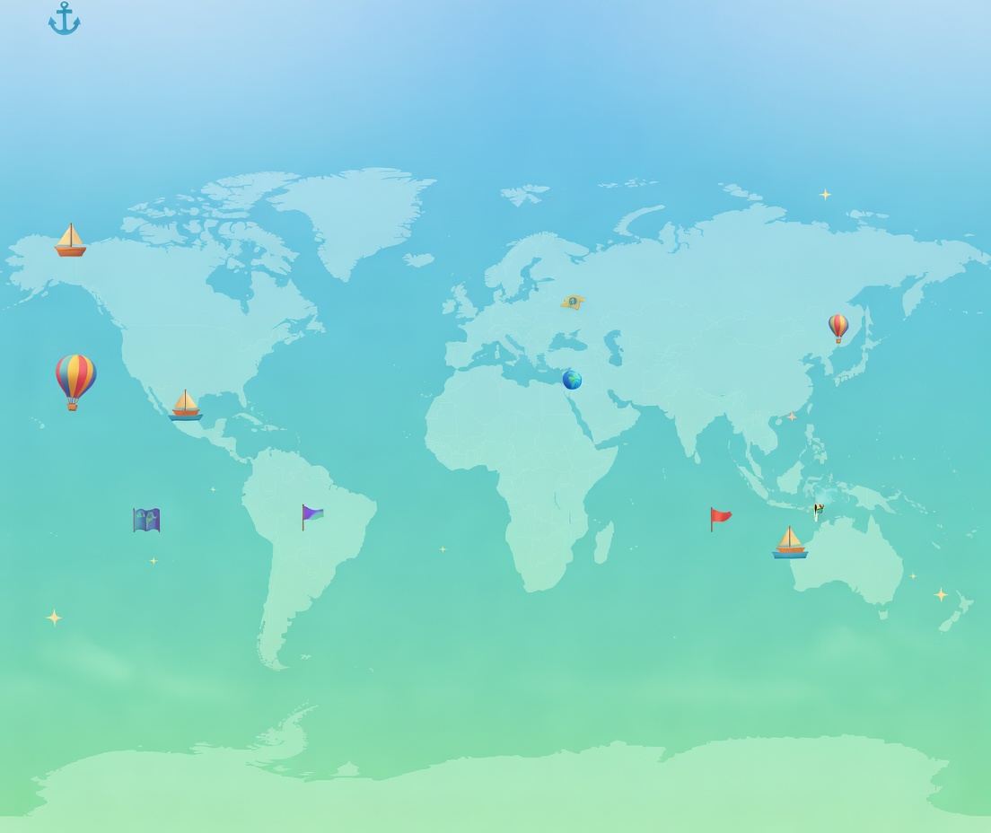
What is a country?
A country is a place with people, land and a government. The government makes decisions and laws for the area it governs. Borders show where one country ends and another begins. An independent country manages its own national affairs; this is sometimes called sovereignty.
A country can include cities, farms, mountains, rivers and islands. Its people may speak different languages and follow different traditions. A single photograph, food or animal is a useful memory clue, but cannot tell you everything about the people who live there.
Countries, continents and territories
A continent is a large geographical division of Earth’s land, not a single government. This page uses the seven-continent model: Africa, Antarctica, Asia, Europe, North America, South America and Australia. Many countries share a continent: Kenya and Egypt are both in Africa. Australia is unusual because the name describes both a country and a continent.
Oceania is the wider region containing Australia, New Zealand and Pacific island countries. The table uses it to include New Zealand without calling New Zealand part of the Australian continent. Antarctica has no sovereign countries; research stations and territorial claims do not make it an ordinary country divided by national borders.
A territory can mean any area of land. When maps list countries and territories separately, a territory usually has a political connection to another country rather than being an independent state. Greenland, for example, is a self-governing part of the Kingdom of Denmark. Having an island outline or a flag does not by itself prove that a place is independent.
Learning objectives for KS1 and KS2
KS1 (roughly ages 5–7): name and locate the seven continents, tell a country from a city or continent, and find three countries using labels on a world map. Describe whether a chosen country touches the sea. These activities support early geographical vocabulary rather than memorising a long list.
KS2 (roughly ages 7–11): locate countries on different continents, use compass directions to describe their positions, compare island and landlocked countries, and use a map key to distinguish a border from a river. Give two location clues for a country and explain why a familiar shape alone is not enough.
Country reference table: twelve places to locate
Two examples from each inhabited continent or region below. Use the location and fact together as a map clue; the Australia/Oceania distinction is explained above.
| Country | Continent / region | Geographical clue |
|---|---|---|
| Italy | Europe | Its long peninsula reaches into the Mediterranean Sea and resembles a boot. |
| Switzerland | Europe | This landlocked country has no sea coast; the Alps cover much of its south. |
| Kenya | Africa | The Equator crosses Kenya, which also has an Indian Ocean coast. |
| Madagascar | Africa | An island country in the Indian Ocean, east of mainland Africa. |
| Japan | Asia | An archipelago: a group of islands off the eastern coast of the Asian mainland. |
| Nepal | Asia | Landlocked between India and China; Mount Everest lies on its border with China. |
| Canada | North America | Its coasts meet the Atlantic, Pacific and Arctic oceans. |
| Mexico | North America | It borders the USA to the north and Guatemala and Belize to the south-east. |
| Brazil | South America | It contains the largest share of the Amazon rainforest, which extends into other countries too. |
| Chile | South America | A long, narrow country between the Pacific Ocean and the Andes. |
| Australia | Australia / Oceania | Australia is both a country and the smallest continent in the seven-continent model. |
| New Zealand | Oceania | Its two main islands are the North Island and South Island, separated by Cook Strait. |
Island countries and landlocked countries
An island is land surrounded by water. An island country may occupy one island, several islands, or part of an island shared with another country. Madagascar and Sri Lanka are island countries; Japan is an archipelago, a group of islands. The island of Ireland contains the independent country Ireland and Northern Ireland, which is part of the United Kingdom.
Landlocked means having no coast on an ocean or a sea connected to the ocean. Nepal, Switzerland and Bolivia are landlocked. They can still have rivers and lakes: no sea coast does not mean no water. Mongolia is between Russia and China, so travelling from Mongolia to an ocean crosses another country.
Countries spanning more than one continent
Russia extends across Europe and Asia. The Ural Mountains mark part of the conventional dividing line. Turkey also has land in both: most lies in Asia, while a smaller area lies in south-eastern Europe. The Bosporus passes through Istanbul between its European and Asian sides.
Most of Egypt is in Africa, but the Sinai Peninsula is in Asia; the Suez Canal follows the usual dividing line here. Continent boundaries are geographical conventions, not always country borders. An atlas may group a whole country in one region for convenience, so read its labels and notes before deciding a map is wrong.
How country borders are drawn
Some borders follow physical features. Much of the France–Spain boundary follows the Pyrenees Mountains, and part of the USA–Mexico border follows the Rio Grande. A river may run inside a country for one stretch and along a border for another: a blue line is not automatically a country boundary.
Other borders come from historical agreements. Part of the Canada–USA boundary follows the 49th parallel, a line of latitude agreed through treaties. Such a line need not be a wall or a visible mark on the ground. Borders can change after negotiations or conflicts, and some remain disputed. Check an up-to-date map and read any boundary notes.
Common country-recognition mistakes
Confusing a country with a continent or city: Africa is a continent, Kenya is a country and Nairobi is a city. Put the names in three columns before trying to locate them.
Treating a landmark as the whole country: the Eiffel Tower is in France, but France includes far more than Paris. Use the landmark to recall the name, then find the country’s borders.
Assuming a natural feature belongs to only one country: the Amazon rainforest spreads across several countries, and the Ganges flows through India and Bangladesh. Read words such as ‘largest share’ or ‘flows through’ carefully.
Guessing size from a flat map: projections change shapes and areas. On a common Mercator map, places near the poles look especially large. Compare stated areas or use a globe rather than counting how much screen space a country fills.
Using colour or a nickname as proof: neighbouring countries are often coloured differently just to separate them. ‘Land of Fire and Ice’ is a clue for Iceland’s volcanoes and glaciers, not its official name. Similar names such as Niger and Nigeria describe different countries.
Map-reading practice with worked answers
1. Locate, then describe: find Kenya on a labelled world map. Find the Equator and Indian Ocean. Complete ‘Kenya is in ___ and has a coast on the ___’. Check: Africa; Indian Ocean. Notice that the Equator crosses the country rather than marking its border.
2. Compare access to the sea: locate Madagascar and Nepal. Trace each outline with your finger. Which is surrounded by sea, and which lies between other countries? Check: Madagascar is an island country; Nepal is landlocked between India and China.
3. Use more than a silhouette: cover Italy’s label. Look for a boot-shaped peninsula, the Mediterranean Sea and the Alps to the north. Check the label afterwards. Shape plus neighbouring features is a stronger clue than shape alone.
4. Read the key: find the France–Spain border and the Pyrenees. Compare the map’s symbols for a mountain range, a river and a national boundary. Say which feature the border follows. Check: the Pyrenees for much of the boundary; the symbols need not look the same.
5. Practise recall: pick one country from each pair in the table—Italy/Switzerland, Kenya/Madagascar, Japan/Nepal, Canada/Mexico, Brazil/Chile and Australia/New Zealand. Cover the continent column and name each location. Check your answers, then locate the six countries on a blank printable map.
World countries: frequently asked questions
How many countries are there in the world?
A common learning count is 195: the United Nations has 193 member states, plus two non-member observer states, the Holy See and the State of Palestine. The Holy See represents the Catholic Church and is closely linked with Vatican City. Not every list uses the same rules about recognition or territories, so explain the counting method rather than assuming every map must have exactly 195 labels.
Is a country the same as a continent?
No. A country has a government and political borders; a continent is a large geographical division. Brazil is a country in South America, and Japan is a country in Asia. Australia is both a country and a continent in the seven-continent model, while Oceania is the wider region that also includes New Zealand and Pacific island countries.
Can an island contain more than one country?
Yes. Hispaniola in the Caribbean is shared by Haiti and the Dominican Republic. An island is a physical landform, while a country is a political area. The reverse also happens: Japan is one country made up of many islands. Do not count islands and assume that you have counted countries.
Can a country belong to more than one continent?
Yes. Russia and Turkey have land in both Europe and Asia using the usual geographical boundary. Egypt has most of its land in Africa and the Sinai Peninsula in Asia. A continent boundary can pass through one country; it does not have to follow a national border.
How can I recognise a country on a map?
Start with its continent, then check its coast, neighbouring countries and a distinctive feature. For Italy, combine its boot-like peninsula with the Mediterranean Sea and Alps. Use labels to check your first attempts, then cover them and try again. Read the map key: colour, river lines and border lines are clues only when you know what they mean.
Keep exploring
Sources for further reading
- National Geographic Education: borders and natural boundaries
- Britannica Kids: Asia and the Europe–Asia boundary
- United Nations: member states
- United Nations: non-member observer states
- National Geographic Kids: country reference profiles
- Britannica Kids: Sahara, countries and Western Sahara
- Smithsonian: volcano counts and their time periods
- South African Government: twelve official languages
- Guinness World Records: France’s overseas time zones
- Britannica Kids: the Amazon rainforest